Building date:
Original use:
Corner structures:
Mortar application and content:
Types and uses of stones:
Types and choice of windows:
Structures with similar masonry details:
Masons who worked on building:
Unique features:
Map views courtesy Google Maps. Address is Google Earth confirmed; 43°03'55.36"N 77°35'26.03"W. Current owner of record, Diprimo as of the 2018 Tax Roll.
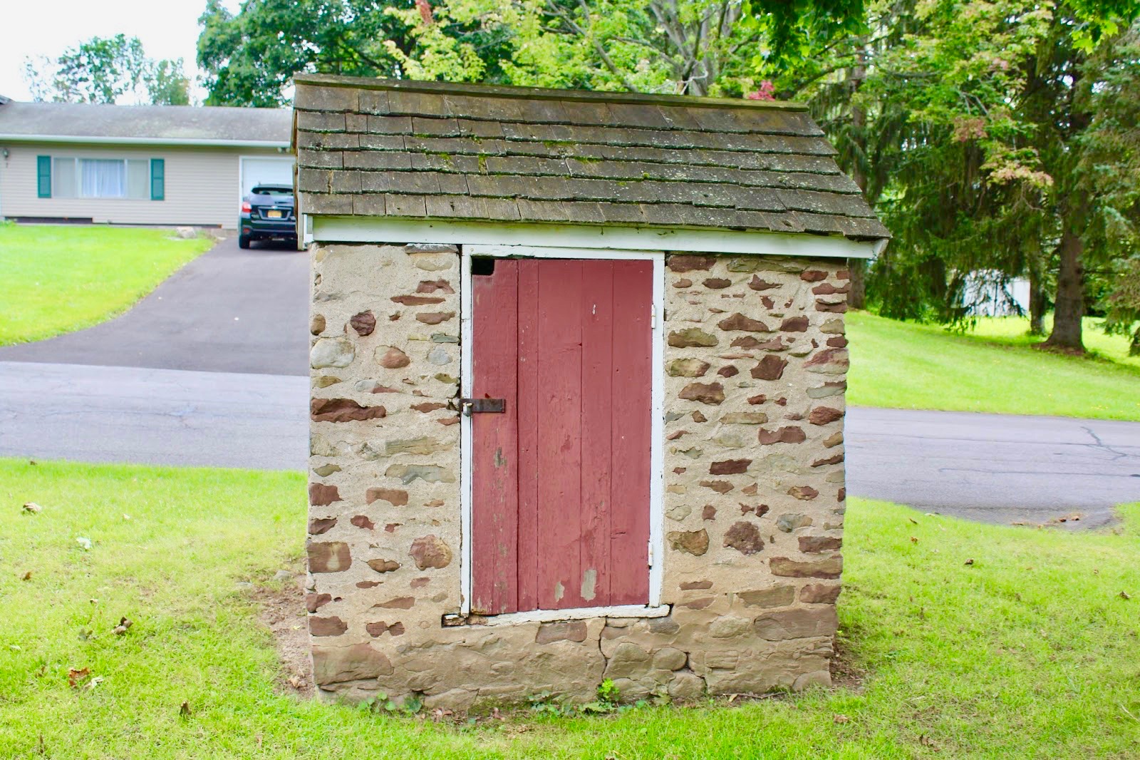
NOTE The smokehouse is located under the tree toward the west corner of the property about 12 feet from Cobblestone Drive. The structure is not visible from the Google Maps overhead satellite view.

Town of Henrietta and Monroe County Maps
This structure is not included in the Roudabush Survey, and is included courtesy the Richard Palmer blog.
 687+Pinnacle+Road+Henrietta.jpg ¹ |
¹ Photography courtesy Richard Palmer.
